Detecting Center-Pivot Irrigated Croplands Using Google Embeddings
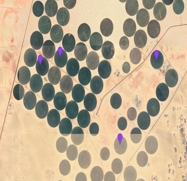
Detected center-pivot irrigation in Egypt using zero-shot embedding similarity search with AlphaEarth (Google DeepMind), then transferred the same detections to Saudi Arabia with no additional labels. Built entirely in Google Earth Engine using self-supervised geospatial foundation model embeddings